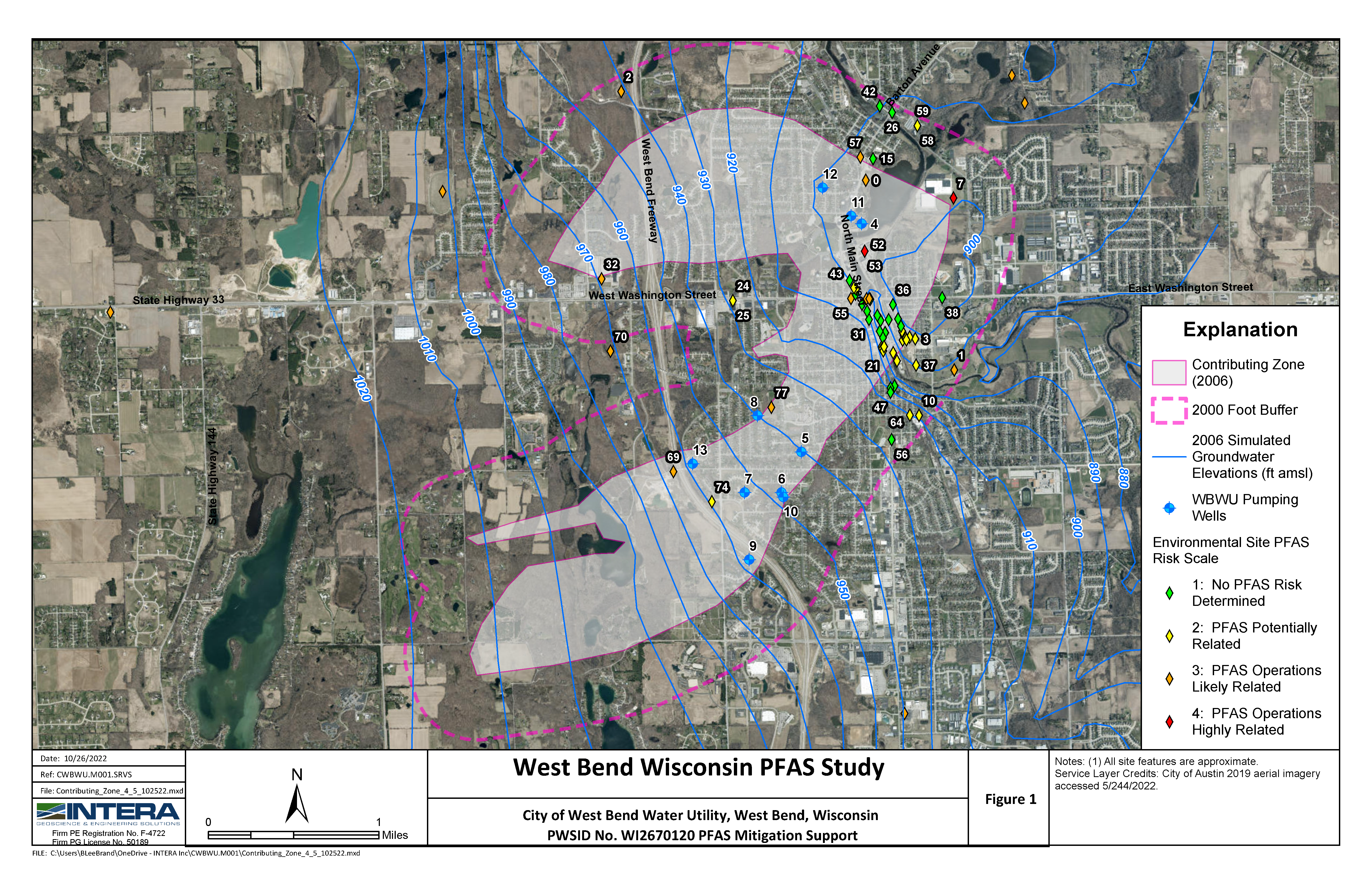
Challenge. Create customized tools to improve workflow and spatial analysis capabilities for Hanford Site GIS activities
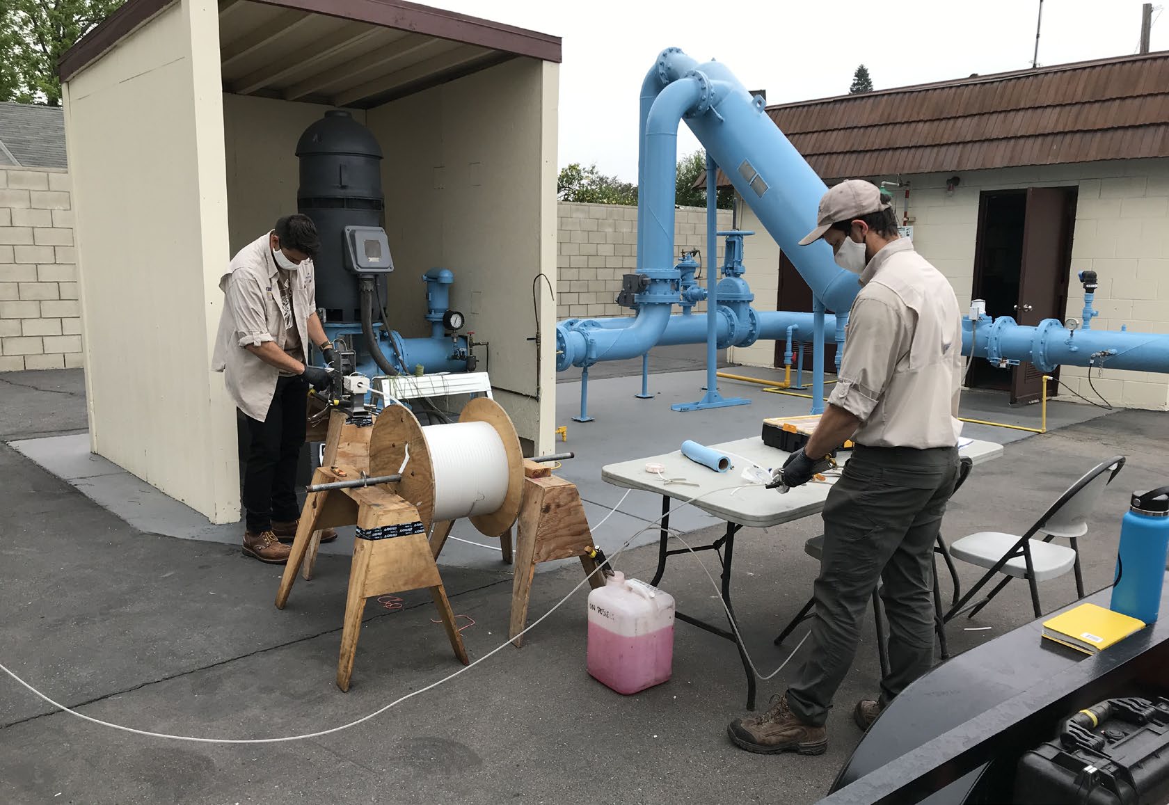
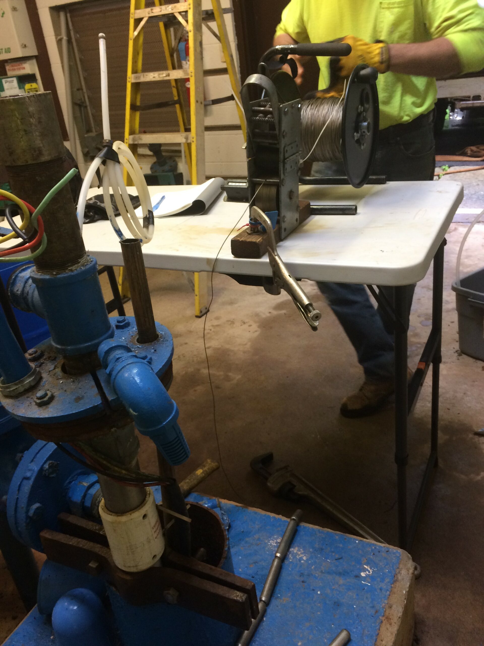
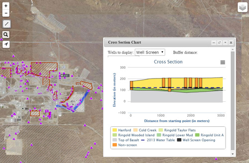
Solution. INTERA added new and improved functionalities to the Hanford Site GIS through the development of several customized computer applications and scripts. We designed and coded an ArcGIS-based tool that allows users to multi-select a series of parameters from a graphical interface within ArcMap. The tool automates the generation of large numbers of hard-copy maps needed for regulatory reporting based on user selected parameters and draws on data stored in an MS Access database. The customization was programmed in ArcObjects using Visual Basic for Applications (VBA) and included functionality to convert map layouts to saved image files. This tool has significantly improved spatial analysis capability and workflow for site GIS activities, particularly in the areas of modeling, engineering analysis, and regulatory reporting. INTERA also automated the Annual Groundwater Quality and Pump and Treat reports. The web-based scientific reports enable stakeholders, including the general public, to view the impacted areas around the Hanford Site and investigate the manner in which the areas are being addressed. To facilitate communication between the environmental professionals at Hanford and the general public, a series of web mapping applications serve as supplementary tools on top of the text-based report. To view site characteristics, the tools provide a variety of functions including embedded maps to show the live content of a figure in real time, maps with time-series data to show the monitored constituents in one or more wells, maps with subsurface geology data to show the elevation profiles and the wells, and maps with contaminant plume data. The text report, along with the tools, provides a thorough yet simple way to facilitate the understanding of data from both experts and users without necessary geographic knowledge. Supported platforms include desktop, laptop, and iOS tablet (iPad) computers. INTERA’s efforts have not only automated the functions for analysis, querying, visualization, and rendering of Hanford Environmental Information System groundwater data for project scientists in support of day-to-day analysis, but has greatly improved the efficiency and effectiveness in developing and presenting the annual reports to regulators, the public, and other interested stakeholders.