
Assessing wind, waves, surge, and currents to understand risks, quantify uncertainties, and develop solutions to mitigate damage
INTERA staff bring the expertise to help reduce damage and protect assets from harm employing structural and non-structural (awareness, forecasting, and warning) solutions. Our experience ranges from improving the accuracy of the Federal Emergency Management Agency (FEMA) Flood Insurance Rate Maps to identifying vulnerable coastal infrastructure and conducting forensic studies to identify causes of coastal infrastructure damage. Through active research programs, we have developed improved methodologies to better design infrastructure to withstand erosion and wave forces. INTERA’s staff also brings experience in conducting county-wide FEMA studies addressing riverine, levee, and coastal flood hazards. Select examples of our flood risk management services are below.
- river and estuarine modeling
- coastal process modeling
- hydrologic modeling
- storm surge analysis
- floodplain and inundation mapping
- flood risk and hazard mapping
- flood mitigation design and validation
Featured Projects
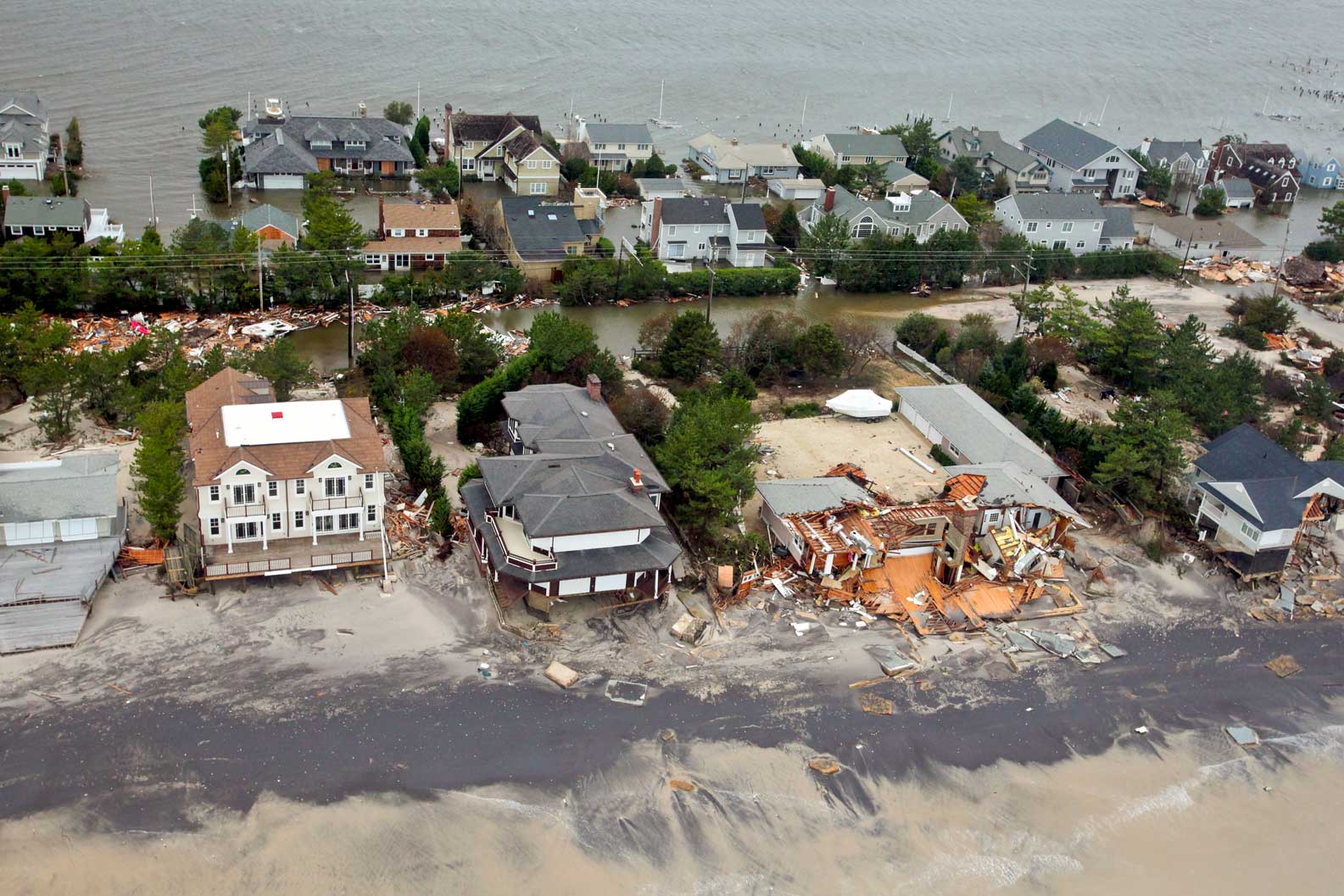
Hindcast of Storm-Surge from Hurricane Sandy
Private Insurance Company
Coastal New York, New Jersey, and Connecticut, USA
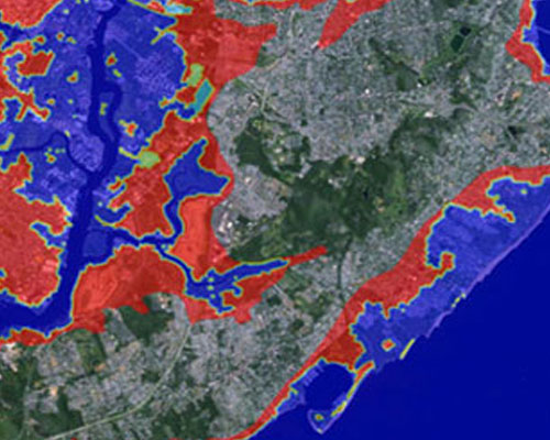
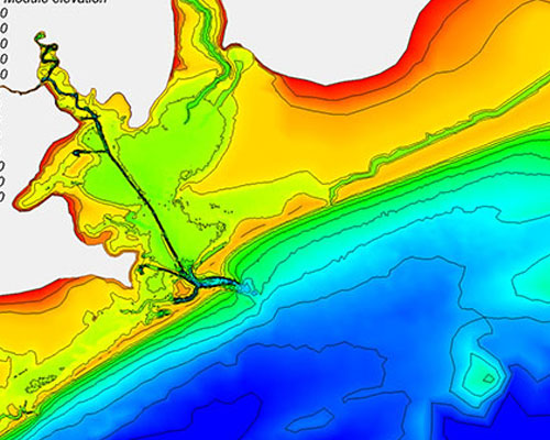
Hurricane and Wave Erosion Studies for Modification of FEMA Flood Zones
Multiple Commercial and Private Property Owners
Atlantic and Gulf Coasts, Florida, USA
Some of our trusted clients:

Learn more about our Coastal Engineering services
We would love to know more about your project, and we are happy to share any information that might be helpful. Just fill out the form, and we will be in touch.