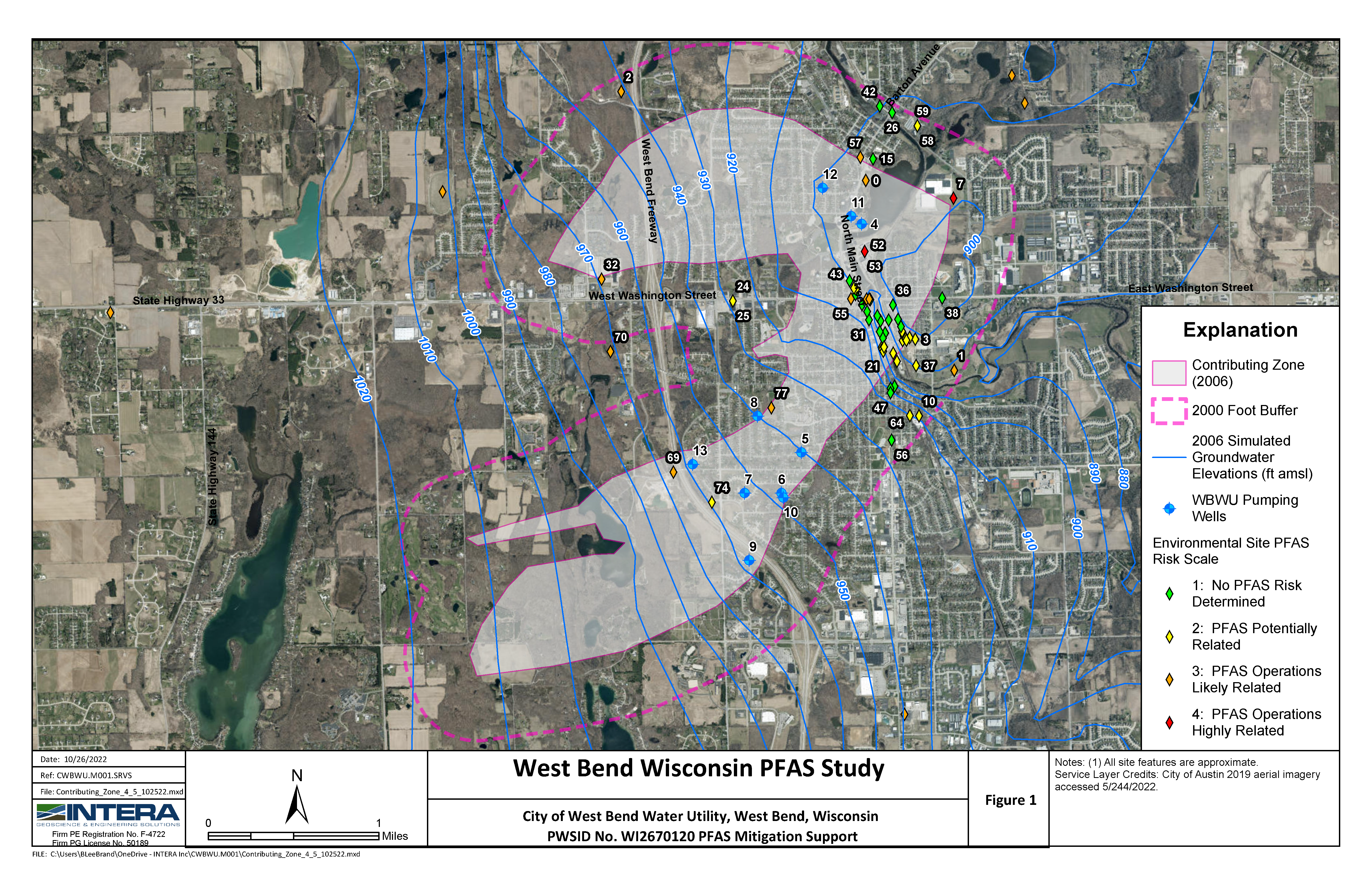
Challenge: To better understand the spatial distribution of PFAS contamination and assess potential future risks to drinking water supplies.
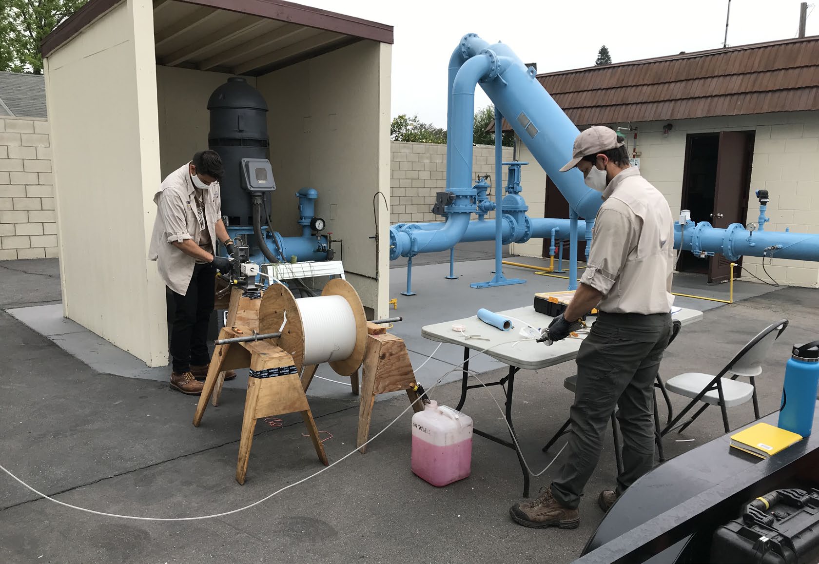
Solution: California American Water (Cal-Am) operates over 110 wells in multiple water systems in the Sacramento area. Based on the results of proactive and comprehensive sampling for PFAS, Cal-Am has removed impaired wells from service, constructed treatment facilities, and increased routine monitoring. To provide additional water quality data that can be used to understand the spatial distribution of PFAS contamination and assess potential future risks to drinking water supplies, INTERA collected relevant data from state, federal, and regional sources including hydrogeologic conceptual models, historical groundwater levels, well construction data, water quality data, and other environmental data. Particular emphasis was given to collecting information on sites and facilities known to be sources of PFAS contamination, including landfills, chrome plating operations, airports, defense facilities, wastewater treatment plants, and other industrial facilities. In addition, we “scraped” thousands of relevant documents from public environmental investigation records and searched them for “hidden” data on PFAS occurrence in soil and groundwater not available in public databases. To accomplish this, we developed the templates and workflows needed to efficiently import data and documents from GeoTracker, EnviroStor, GAMA, and CASGEM. A web-based application was developed for spatial and temporal viewing of data.
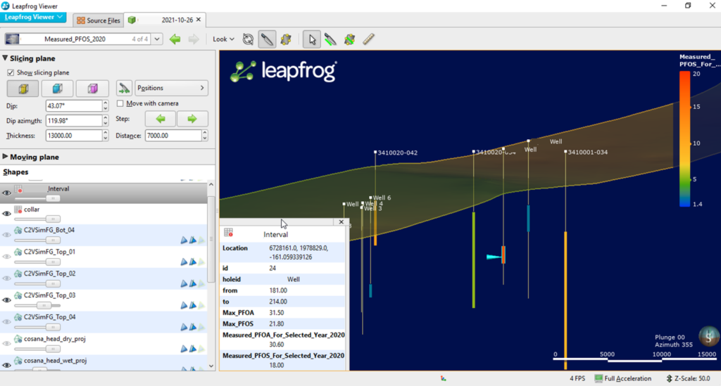
Results: INTERA developed a geodatabase with historical water quality and hydrogeological data that is helping determine temporal and spatial trends of PFAS contamination, identify data gaps and opportunities for enhanced monitoring, and develop concepts for practical decision support and planning tools.